
Garmin Navionics+ Charts for Chartplotters
ActiveGPS stocks Garmin Navionics+ and Navionics Vision+ marine charts for use with compatible Garmin chartplotters. We carry titles covering UK and European waters, available in Regular and Large coverage sizes. All Navionics+ titles are supplied on SD/microSD card and include a one-year subscription for daily chart updates via the ActiveCaptain app. If you need charts compatible with a marine handheld GPS device, we also stock Garmin BlueChart g3 charts as an alternative. For advice on which chart suits your device, call 01733 777623 Monday to Friday, 9:30am to 5:00pm.
|
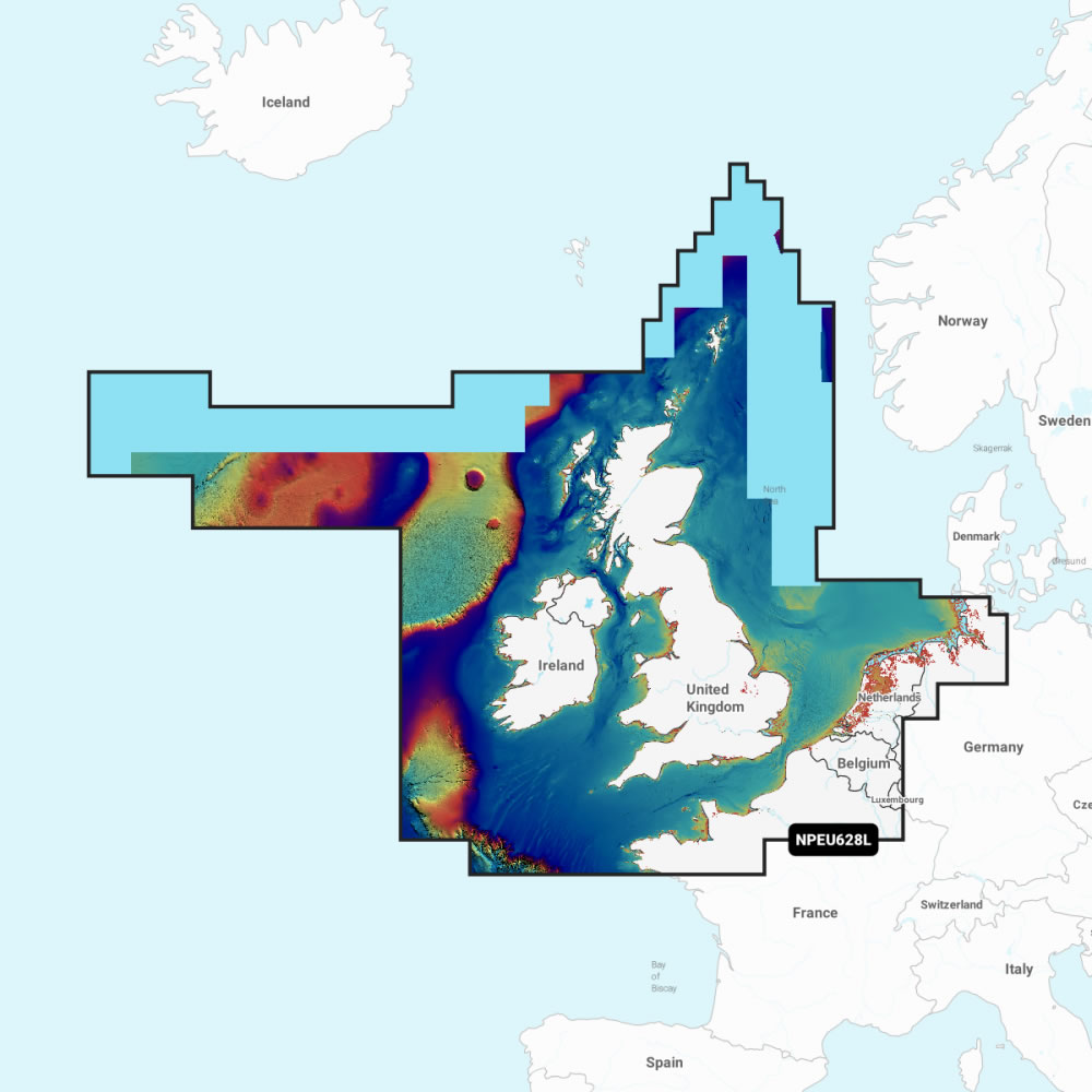
Garmin Navionics+ UK and EuropeWe stock Garmin Navionics+ and Navionics Vision+ titles for UK and European waters. Discover the coverage options below: ‣UK and Europe Regular Navionics+ / Vision+ charts |
Garmin Marine Accessories
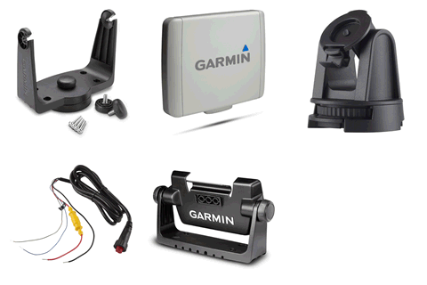
Buy accessories for your Garmin marine chartplotter or handheld GPS device.
Garmin Marine Transducers
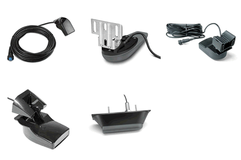
Buying a transducer for your Garmin chartplotter? Complete our transducer buyer's form and we will advise on the most suitable transducer for your device.
Garmin Marine Chartplotters
Browse our full range of Garmin marine chartplotters, compatible with Navionics+ and BlueChart g3 charts.
Garmin Navionics+ Buying Guide
Navionics+ and Navionics Vision+: What is the Difference?
Garmin Navionics+ is a subscription-based marine chart supplied on SD/microSD card, covering coastal and inland waters with detailed nautical chart data. Navionics Vision+ is the premium tier, including everything in Navionics+ with the addition of high-resolution satellite imagery, aerial photos of ports, harbours and marinas, and 3D chart views. Both are available in Regular and Large coverage sizes and are compatible with a wide range of Garmin chartplotters.
Daily Chart Updates
Every Navionics+ and Navionics Vision+ purchase includes a one-year subscription for daily chart updates via the ActiveCaptain smart device app. Garmin confirm that as many as 5,000 chart updates are made every day, keeping your chart data current throughout the year with new and amended content as it becomes available.
Auto Guidance+
Navionics+ and Navionics Vision+ include Auto Guidance+ technology, which calculates a suggested route based on your vessel's specified depth and overhead clearance requirements, highlighting nearby hazards along the way. The feature is designed to assist with passage planning rather than as a replacement for traditional navigation.
Depth Range Shading and Shallow Water Shading
Navionics+ charts display depth range shading to give a clear visual picture of water depth variation across your chart area, with shallow water shading highlighting areas below a user-defined depth threshold. This is particularly useful for coastal navigation and fishing, allowing you to assess safe water at a glance based on your vessel's draft.
Navionics Vision+ Exclusive Features
Navionics Vision+ adds high-resolution satellite imagery and aerial photography of ports, harbours, marinas, waterways and coastal roads. The 3D FishEye view provides an underwater perspective of bottom structure, while the 3D MarinerEye view gives a bird's-eye perspective of the surrounding waters and coastline — both useful for familiarising yourself with an unfamiliar area before arrival.
ActiveCaptain Community
Both Navionics+ and Navionics Vision+ connect to the ActiveCaptain community, giving you access to crowd-sourced data including marina reviews, hazard reports and local knowledge contributed by other Garmin chartplotter users.
Garmin BlueChart g3 as an Alternative
Customers who prefer a one-off chart purchase rather than a subscription may wish to consider Garmin BlueChart g3 charts, which are available from ActiveGPS for compatible Garmin chartplotters and marine handheld GPS devices. BlueChart g3 is compiled from hydrographic and navigational data and includes Navionics inland waters coverage. Unlike Navionics+, BlueChart g3 is also compatible with a range of Garmin handheld GPS devices. See our Garmin marine charts comparison for a full feature breakdown.
Navionics+ Chart Compatibility
Garmin Navionics+ and Navionics Vision+ charts are compatible with Garmin chartplotters that accept SD or microSD cards. They are not compatible with Garmin handheld GPS devices. Always check compatibility on the individual chart product page before purchasing to confirm your device is supported.
Need Help Choosing?
Call us on 01733 777623 Monday to Friday, 9:30am to 5:00pm, for advice on which Navionics+ title is right for your device and coverage area. You can also contact us online.
Garmin Navionics Marine Charts Questions and Answers
Question: What is the difference between Garmin Navionics+ and Garmin BlueChart g3?
Answer: Garmin Navionics+ is a subscription-based chart service produced by the Navionics division of Garmin, offering daily chart updates and chartplotter compatibility. Garmin BlueChart g3 is a one-off purchase chart compiled by Garmin from hydrographic data, and is compatible with both chartplotters and handheld GPS devices. Both are genuine Garmin products stocked by ActiveGPS.
 Why Buy from ActiveGPS?
We are official authorised Garmin Internet Retailers, offering genuine Garmin products, accessories, and maps. All our stock is purchased directly from assigned Garmin UK distributors - we do not source from the grey market and never sell counterfeit products.
When you buy from ActiveGPS.co.uk, you can be confident that you’ll receive full Garmin support and the peace of mind that comes with purchasing authentic, reliable products.
This page was last updated on: 23rd September 2026