FREE UK delivery when you spend £50 - see more delivery options.

Homepage / GPS / Handheld GPS / Magellan Accessories / Magellan Maps
Product Code: MTOM6
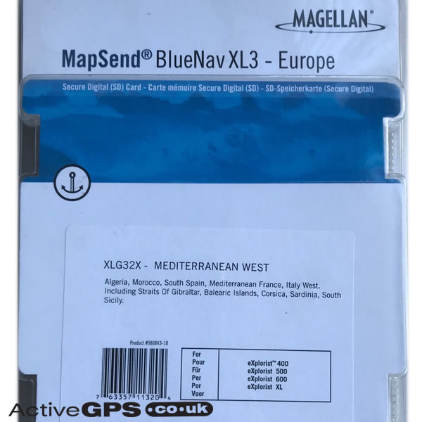

Ready to use detailed marine cartography for the Magellan eXplorist 400, eXplorist 500, eXplorist 600 and eXplorist XL handheld GPS receivers.
This BlueNav XL3 - Europe - XLG32X - Mediterranean West marine cartography chart features tides and currents, shaded depth contours, larger port plans, port services and more.
Coverage includes: Algeria, Morocco, South Spain, Mediterranean, Italy West, Straits of Gibraltar, Balearic Islands, Corsica, Sardinia and South Sicily.
Map data: Copyright 2005.
Magellan part number: 980843-18
Compatibility: Compatible with Magellan eXplorist 400, eXplorist 500, eXplorist 600, eXplorist XL.
![]()
Magellan BlueNav XLG32X Mediterranean West SD card has been discontinued.
 Deliveries
We offer UK, Europe and Worldwide deliveries. We despatch orders at 4:30pm on Monday, Tuesday, Wednesday, Thursday and Friday. We need to receive your order on those days by 3:00pm. When possible we may despatch orders received after that time. No orders are despatched on Saturday, Sunday or Bank Holidays in England and Wales.
We offer FREE UK delivery on all orders of £50.00 or more, plus next working day and guaranteed Saturday delivery options. Click here for further info. All options also appear at the basket pages.
Ready to use detailed marine cartography for the Magellan eXplorist 400, Magellan eXplorist 500, Magellan eXplorist 600 and Magellan eXplorist XL handheld GPS receivers.
This BlueNav XL3 - Europe - XLG32X - Mediterranean West marine cartography chart features tides and currents, shaded depth contours, larger port plans, port services and more.
Coverage includes: Algeria, Morocco, South Spain, Mediterranean, Italy West, Straits of Gibraltar, Balearic Islands, Corsica, Sardinia and South Sicily.
‣Includes BlueNav XL3 - Europe - XLG32X - Mediterranean West
‣Designed for marine use
‣Features detailed marine cartography
‣Includes tide and currents information, shaded depth contours, navaids, spot soundings, larger port plans, port services and more.
‣Map data: Copyright 2005
‣Genuine Magellan Accessory
‣Preloaded SD card containing BlueNav XL3 - Europe - XLG32X - Mediterranean West
 What are the Magellan MapSend TOPO BlueNav XL3 maps compatible with?
The Magellan BlueNav XL3 maps are compatible with the following Magellan eXplorist handhelds:
Magellan eXplorist 400, eXplorist 500, eXplorist 600, eXplorist XL.
Page updated: 2nd June 2025
ActiveGPS.co.uk
Customer Service
Telephone Number:
01733 777623
Monday to Friday 9:30am to 5:00pm (UK Time)
Follow us on
![]()
![]()
![]()
![]()
![]()

ActiveGPS.co.uk Copyright © Active Alliance Limited 2005-2025 | Company Number - 05200677 | VAT Number - GB 834 2222 57
Text compiled by and copyright Active Alliance Ltd. Plagiarism software in use - do not copy any of our website text, images or videos.